Geospatial Intelligence: Mapping in the Real World
In our previous post on geospatial analysis and geospatial intelligence, we looked at tips on implementing these systems. In this post, we take a look at real world examples of geospatial intelligence used in large enterprises. We hope this inspires you to think about how mapping for analysis can benefit your business intelligence.
Finding Locations More Strategically
/cdn.vox-cdn.com/uploads/chorus_image/image/41853550/mcdonalds-campaign-abc.0.0.jpg)
Big retail chains like McDonald’s (36,899 restaurants as of writing), Apple (506 stores), and Starbucks (29,000 coffee shops) need every bit of strategic information possible when deciding where to open a new store. Geospatial intelligence can help in analysing where to choose a new location by looking at a number of relevant factors.
A few of the aspects retail chains can consider in their geospatial analysis include:
- Competition
- Market Penetration
- Operations
- Forecasting
- Store layout
Let’s take a look at these.
Competition
Visualising where competitors are located on a map can help determine where opportunities may lie. Overlaying locations with things like socio-economic information, transport routes or existing demand on your stores can then help identify holes. For example, you could add new stores, allocate more resources to individual stores or run targeted promotions.
Market Penetration
In the same way as scientists use geographic data to understand the spread of disease, companies use it to see how their products are penetrating a market and from it, identify holes and opportunities for expansion.
Operations
You can also ask yourself the following questions about your operations. How easy will it be for suppliers to deliver stock? How easy is it for customers to find parking? What’s rush hour traffic like near the store? Thinking about these operational considerations can help determine what the potential store experience could be like due to external factors.
Forecasting
Geographic information can be mapped out to show infrastructure, housing, and commercial investment in the area over the next several years. All of which could impact the number of potential customers visiting a location for example. Knowing how an area is likely to change over the coming years is important to planning and forecasting.
Store Layout
Take a busy warehouse and ask where should each product be located? If you were to look around one of Amazon’s fulfilment centres, I expect that you would find that products are not randomly located. They’re put in the most efficient location possible for the people or robots to pick, pack and ship. This would largely be driven by geospatial analysis of the warehouse.
Then, walk into a supermarket. Everyone knows the bread and milk are located at the rear of the store so you have to walk through the store to get every day essentials. This type of analysis is always being cycled by the supermarkets to get you to buy more and it’s all based on store layout, direct sales (the bread and milk) and add on sales (pick ups whilst walking to the bread and milk).
Refining Sales and Marketing

Retailers can also use interactive maps and visualisations to provide insight into current and potential customers in each local market. Analysing a combination of credit card transaction information, social media activity and in shaping centre wifi location, can pretty accurately predict shoppers’ habits, from tastes to frequency of purchase. This in turn can also help guide the development of cost-effective marketing campaigns.
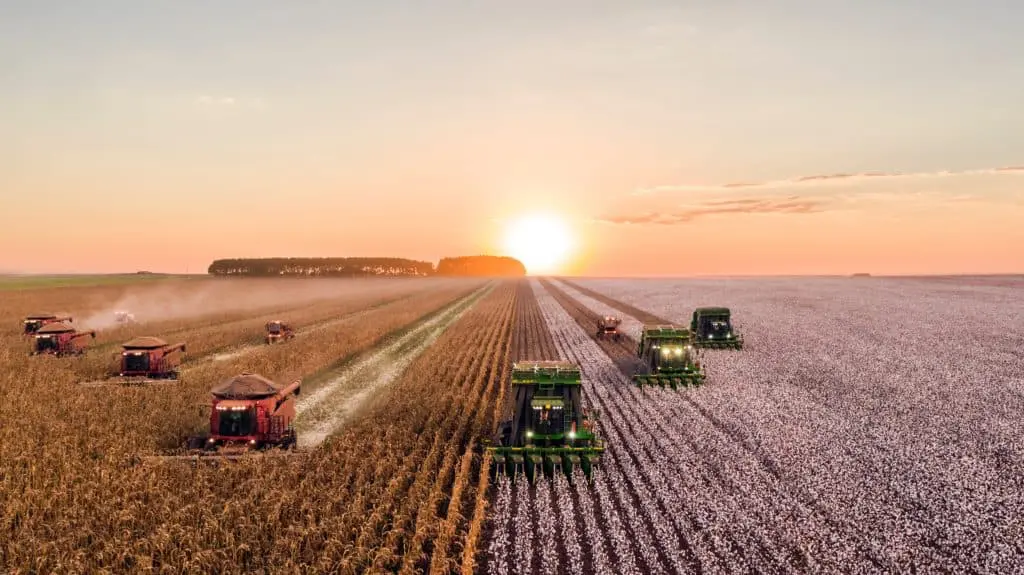
Boosting Food Production

IBM worked with the University of Georgia and local farmers to determine when and where to water their crops. They used geospatial analysis to determine where thunderstorms were most likely to pop up. Using a combination of field sensors, atmospheric observations and the power of a super computer to process incredibly detailed ‘hyper local forecasts’, IBM was then able to capture information in 1.5 kilometre blocks every 10 minutes. This approach to geospatial intelligence helped determine where thunderstorms were most likely to occur, and save water for the fields unlikely to get rain.
Using mapping for analysis leverage technology and readily available data to help uncover opportunities to increase productivity, reduce costs, or even revolutionise areas like farming.
Need help with TM1?
We're here for you


